MetaVu-GIS
XR Spatialized Urban Data Management System
MetaVu-GIS is a smart spatial information platform which enables to do integrated management of facility for maintenance / management / analysis with ICT technologies (5G, XR, IoT, GIS, etc.) It delivers better safety, systemic work environment and improve work efficiency. It can also reduce time & cost as well as prevent accidents and respond immediately.
Diagram
 Spatialized Data
 GPS
GPS
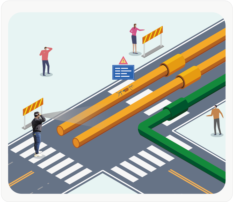
- 3D Visualization
- Visualize by layer
- Adjust object and location
- Update location information
- Connect with IoT sensors
Offline-based mobile management system
Worksite
- Supported Device -
 Tablet
 HoloLens
- Detailed information inquiry
- Take notes of worksite’s situation
- Photo capture of worksite’s situation
- Measure distance & height
Advantages

- Build safe work environment
- Establish social safety network
- Prevent accidents through facility visualization
- Immediate response before an accident happens
- Improve work efficiency
- Integrated management without excavation and construction
- Improve work environment from 2D drawings, map etc.
- Reduce time and cost

- Utilization
- Visualize data from any facilities *Subsurface infrastructure, facility, building BIM data, ground track, urban planning, etc.
- Simulate before construction
- Data verification
- Connect with IoT sensors to prevent accidents and damage
Main Feature

- Visualize by Layer
- Select spatial information that you want to check
- See detailed information by clicking through each facility
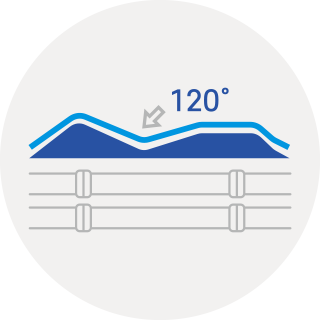
- Applying tilt by geographic features
- Define a value of depth and tilt on geographic features
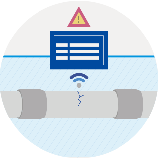
- Connect with IoT Sensor
- Setup real-time sensing and immediate response by connecting with existing or new IoT sensors before a problem comes up * Sensor data like vibration, noise, gas level, etc.